Commercial
Precise LiDAR mapping with DJI Matrice 400 RTK and Zenmuse L2 for quality 3D terrain models.

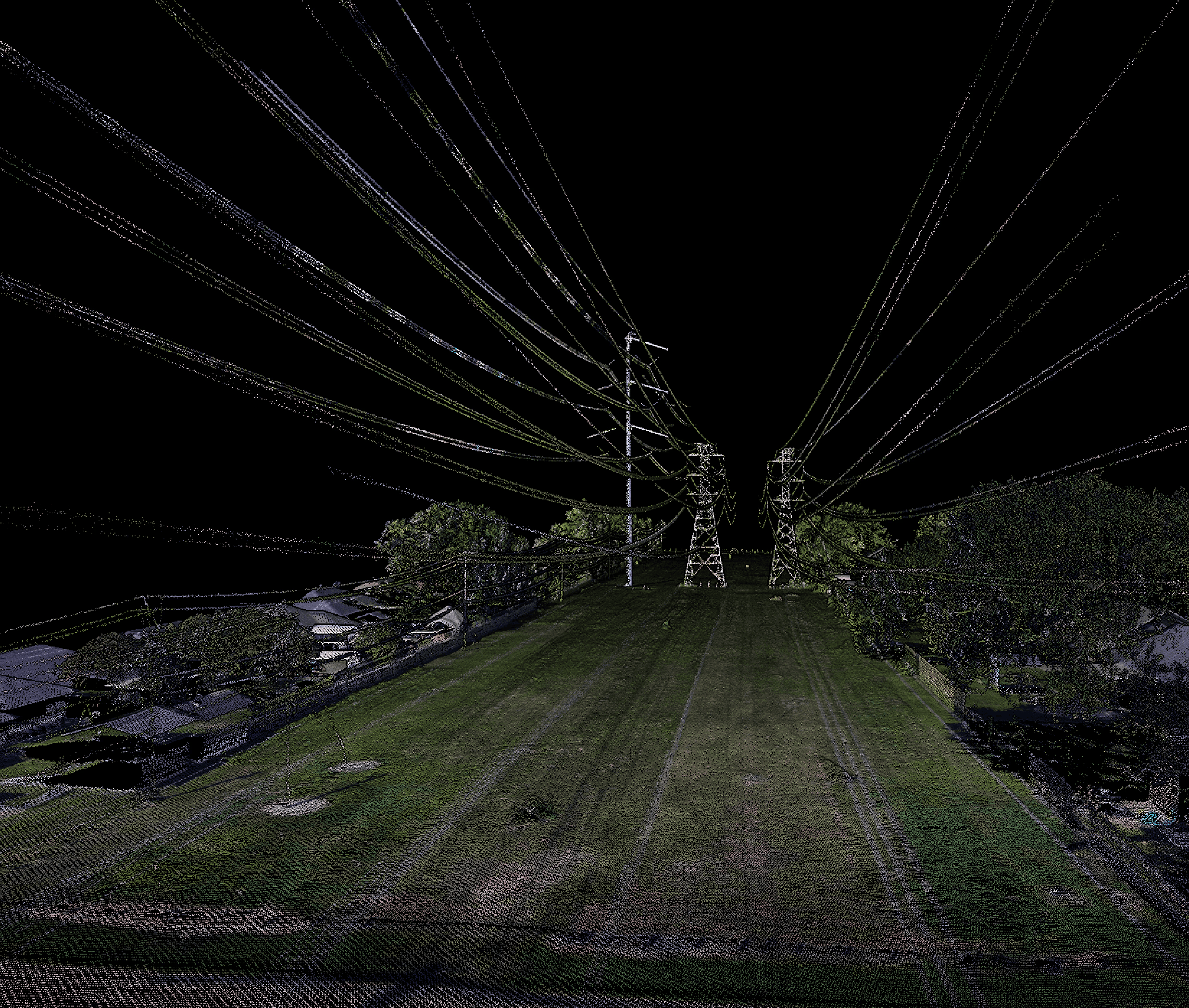
LiDAR Mapping & Surveying
With the power of our DJI Matrice 400 RTK and Zenmuse L2 LiDAR sensor, we deliver point cloud data with centimeter accuracy. Our systems penetrate dense vegetation to reveal the true bare-earth topography, providing engineers, surveyors, and planners with precise digital terrain models (DTMs) and much more. We transform complex environments into usable 3D insights, supporting decision-making in land development, infrastructure planning, and environmental monitoring.