Residential

Aerial Photogrammetry & Mapping

Aerial Photogrammetry & Mapping

High-resolution aerial mapping with M4T and M400 platforms for precise photogrammetry and site analysis.

Team member at work
Team member at work

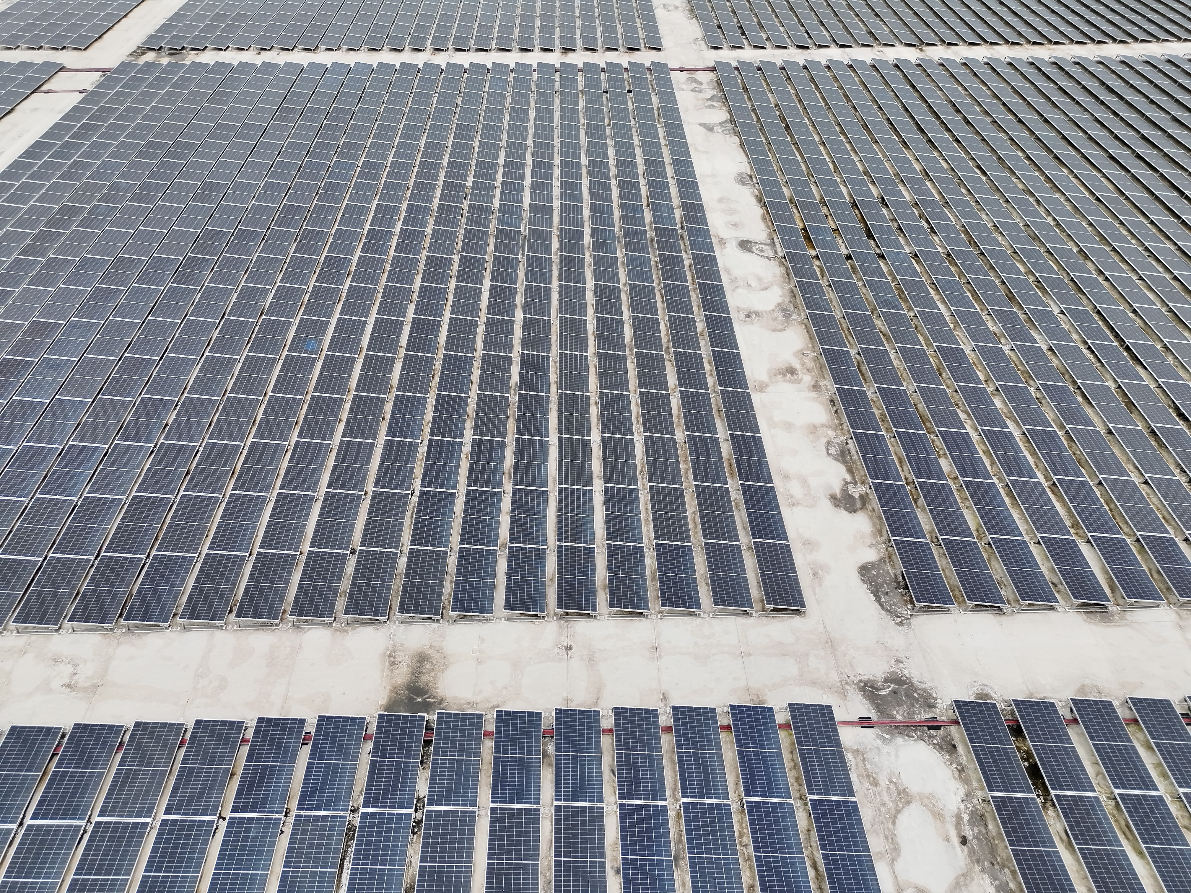
Aerial 2D/3D Photogrammetry

Utilizing both our M4T and M400 platforms, we specialize in high resolution aerial data capture for photogrammetry and site mapping. We generate highly detailed orthomosaic maps, 2D and 3D models, and digital surface models (DSMs) for construction progress monitoring, and large-area site surveys. By combining high-megapixel RGB imagery with the locational accuracy of RTK positioning using Emlid RS3s, we provide a complete visual and metric record of your site, ensuring your projects remain on schedule and within design specifications.

Team member at work
Have Additional Questions?

Houston, Tx

+ (832) 318-9334

Dronetexindustries@outlook.com

Logo Company

Look no further, our drone solutions are capable of aerial mapping, inspections, volumetrics, and emergency response with accuracy and safety in mind.

Our contacts
Logo Company

Look no further, our drone solutions are capable of aerial mapping, inspections, volumetrics, and emergency response with accuracy and safety in mind.

Our contacts
Logo Company

Look no further, our drone solutions are capable of aerial mapping, inspections, volumetrics, and emergency response with accuracy and safety in mind.

Our contacts